Walking around another island - part the third and last
From the very start, as soon as I started researching the Isle of Man Coastal Path, we decided that we probably wouldn't do the northern section of it. This involves a lot of shingle walking that can only be done at low tide, and is less well served by buses. Instead, we decided that we would do an inland mountainous walk. Our goal was to do the mile equivalent of the coastal path, not necessarily the entire coastal path itself.
So in Wednesday we set off to walk part of the Millennium Way. This was established in 1979, the year established, rather arbitrarily, as the millennium of the tynwald, the island government. It's supposed to follow the route taken by early medieval kings from Ramsey to Castletown (though, honestly, I'd have thought that a boat would be a much more sensible approach than 26 miles of mountain and moorland, but what do I know about the ways of Viking kings?)
Had we been fans of the TT race, we might have been quite excited by the start of walk, since to get to the Millennium Way from our base in northern Douglas, we walked right through the TT pit lane and through the finish line. (The TT was a few weeks ago, but everything was still set up, ready for other races later in the year.) We've never watched it, but it still felt a little odd to walk through what was so obviously a race track, even though it was also a public space.
After a few miles of suburban walking and some country lanes, we got up to the Millennium Way, which for several miles was a stony track that gradually climbed up through fields and moorland. When we had to descend to the road beneath Snaefell, we somehow lost the path. Or, rather, we continued to follow the entirely obvious path - the only path anywhere in sight. The map confirmed that there was just One Path in this entire area. Sadly, the One Path of reality and the One Path of the map diverged and continued to diverge, causing us to hit the road well over half a mile away from where we should have. Oh well.
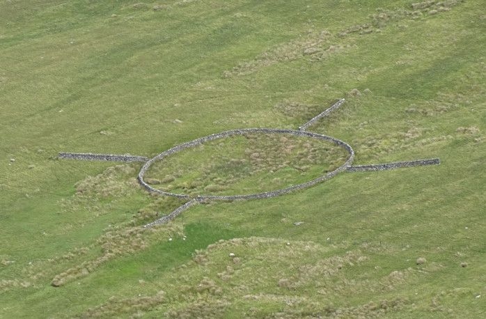
Walking along the road towards the Bungalow station beneath Snaefell, we had a good view of a Probably Ritual sheepfold. Note that this sheepfold apparently has No Way In or Out! :-O None obvious to mortal eyes, anyway. Presumably there's some sort of portal, or something.
Snaefell was nice and obvious above us.

It's a pretty short walk from the Bungalow, but worth it for the view. Not that most of the people coming up by train showed any interest in it, with most of them getting out of the train, going straight into the cafe and staying there until the next train came to take them down again.
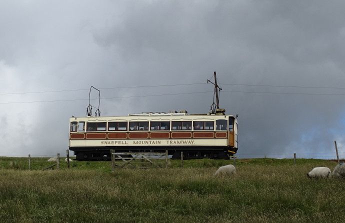
View east towards Laxey:

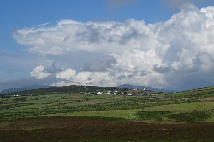
View north(ish) with angry weather:
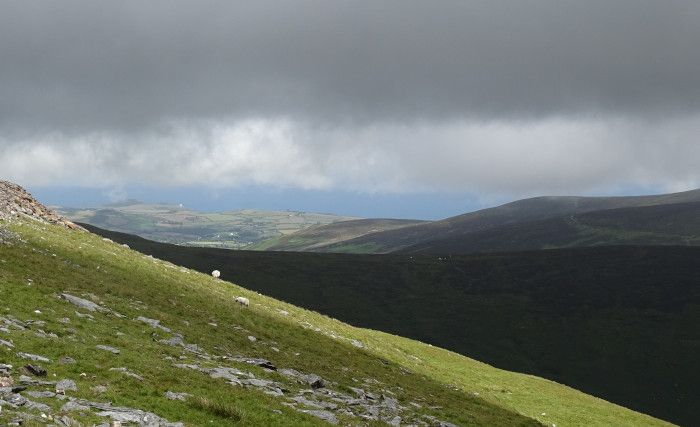
View back down to the Bungalow, not far below us:

View west:
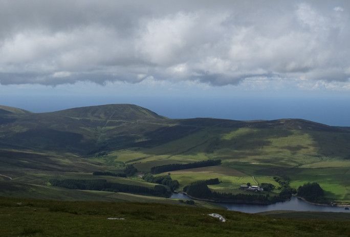
Allegedly one can see seven kingdoms from Snaefell: England, Scotland, Ireland, Wales, Man, Heaven and The Sea, the kingdom of Manannan. Scotland was very clear, and Ireland more or less visible, but Wales was too far away to the south, and England was hiding behind a cloud and a light industrial unit.
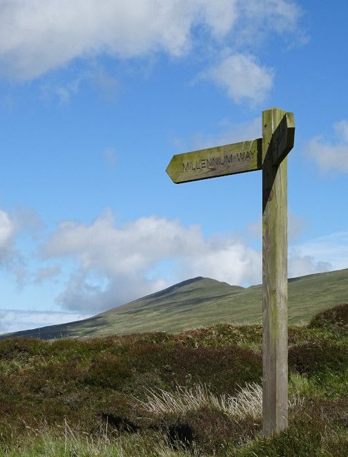
After Snaefell, the path got rather confusing for a while, since it followed narrow and soggy moorland paths that looked little different from the sheep tracks all around. Fortunately there was usually a nice clear Millennium Way signpost visible ahead of us to guide us through the Dead Marshes.
Then, after a few miles of boggy moorland, we were back onto a stony track for the gradual descent into Ramsey, by way of Skyhill, site of a pivotal battle in 1079, when the Norseman Godred Croven finally conquered the island on his third attempt.
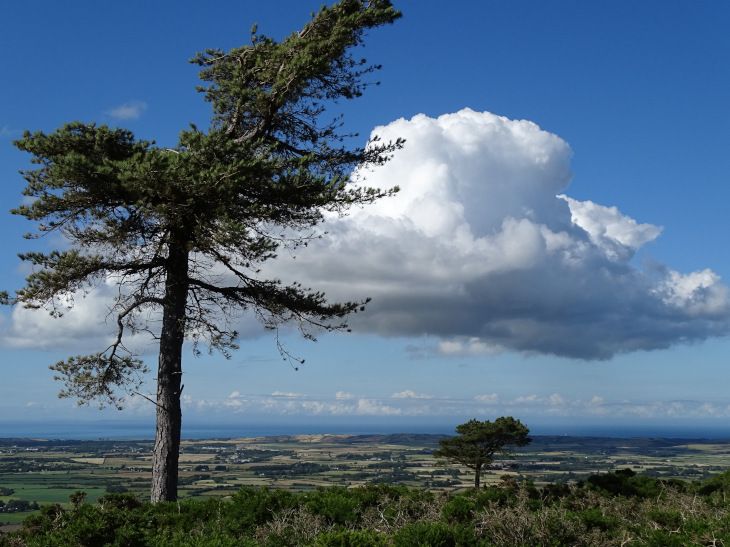
There were some nicely dramatic trees beside the path above Skyhill. Beyond it you can see the flat northern tip of the island - the bit we decided not to walk. We decided that since we'd seen it, it counted. So there.
Miles walked: c. 21 miles
On Thursday we decided that as our mileage was looking good, we could cope with a low mileage day. Besides, we wanted to return to the headland between Port Erin and Port St Mary, the one we'd entirely failed to see when we'd walked through it in low cloud and drizzle. So we went out to Port Erin, and went first to Cregneash, an open air folk museum where some of the buildings in a very small village are kept in the way they would have been in the late nineteenth century.
They promised us Manx Cats. I did see a cat, and I think it MIGHT have been the resident Norwegian Forest Cat / Manx Cat cross, but since it stubbornly remained sitting down in long grass, I have no data on the existence or non-existence of its tail.
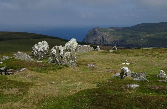
Here is a "stone circle" (actually the remains of a series of burial chambers arranged in a circle) near Cregneash:
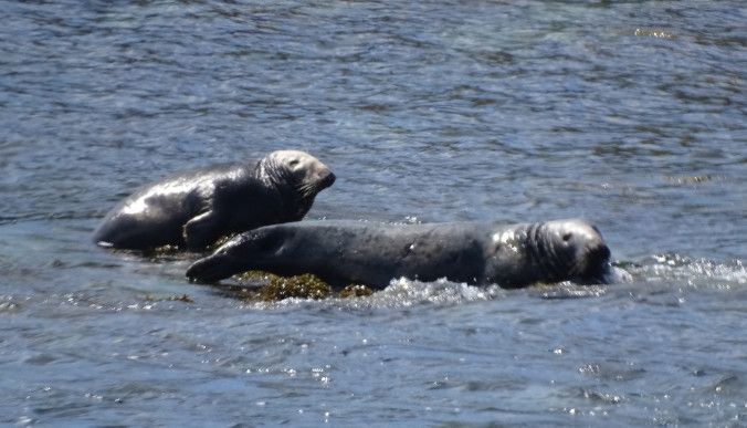
Then we walked to the Sound, where we sat a while and watched seals between us and the small offshore island. There were some very voracious herring gulls around the nearby cafe, prone to stealing entire cakes if the purchasers of said cakes relaxed their guard for even a second.
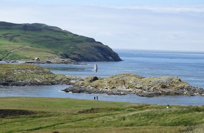
Then we walked back around the headland to Port St Mary, pausing at various spots along the way:
Slates on Spanish Head. Apparently most of the lintels of island houses came from here.

View back towards Cregneash
Sitting looking for dolphins, whales and porpoise.

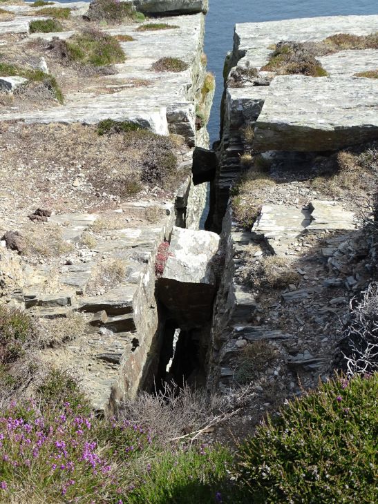
We also revisted the Chasms, approaching them more cautiously this time, now that we knew how chasmous they really were. By which I mean REALLY chasmous. You could hop over a narrow gap in the rock, thinking nothing of it, only to find that you'd just stepped over a drop that would have killed you had you fallen.

We might have seen a basking shark. At least, Pellinor saw a Jaws-like fin and a dark shape under the water. When he pointed it out, I glimpsed the fin as well, but then it disappeared, and search as we might, we never saw it again. Basking sharks have been seen from that spot, so it's not at all impossible, but it didn't seem like a clear enough sighting to report to their shark-watch website.
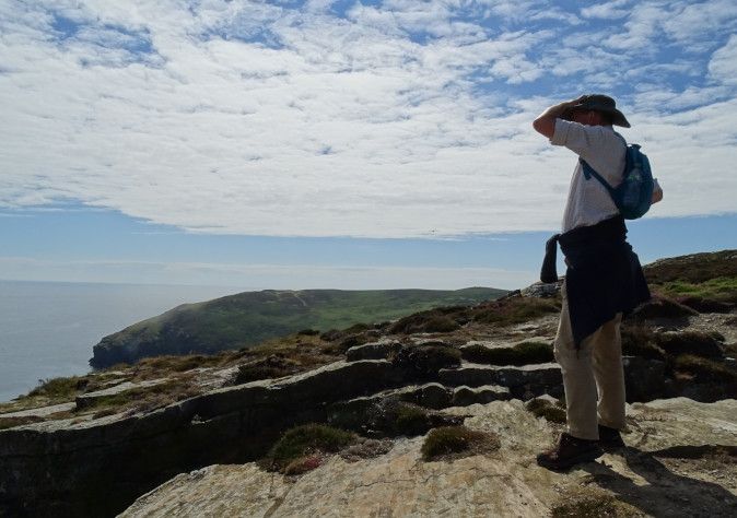
Searching for sharks:
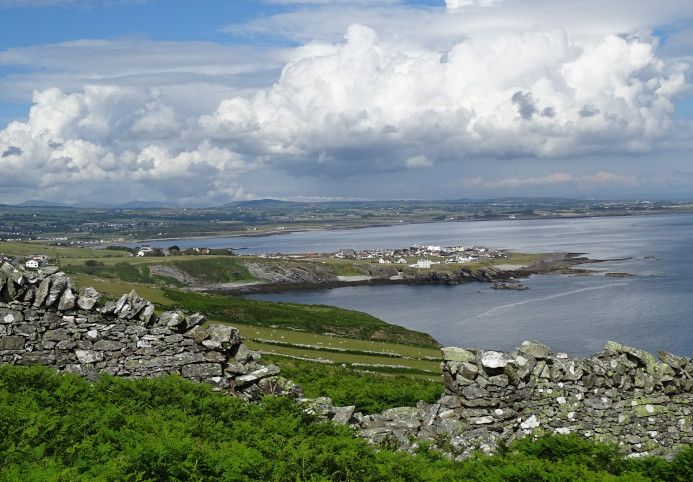
View over Port St Mary:
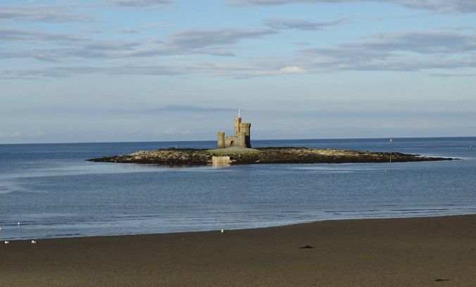
We ate again in the casual place with the large menu, having tapas this time (yum!) before a sunny walk back along the prom and the beach. Here is a picture of the Tower of Refuge out in the bay, taken just because I kept on trying to take a picture of it in dull weather, only to delete the resulting picture as "too boring."
Miles walked: c. 9 (my phone is downstairs and I can't be bothered to go and get it to check my walking app for more accurate figures. Of course, I could have gone and got it and been back in the time it took me to write this excuse. Oh well...)
Finally, on Friday we took the bus to Ramsey and walked back along the coast. This was one of the less interesting walks, to be honest, with quite a lot of road walking. The weather also turned rather gloomy in the afternoon, and the last few miles seemed to go on and on, and we were NEARLY home, but fresh valleys and inlets kept jumping up and and getting between us and our well-earned rest.
There was a "cross house" in the church yard at Maughold, full of Viking-era carved crosses, and they were interesting, but not very photogenic.
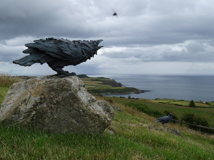
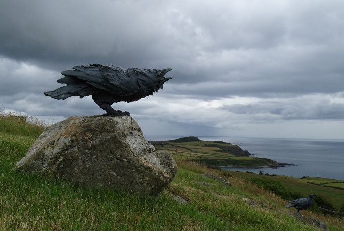
I did like this viewpoint somewhere or other, which was labelled "Charlie's View," and equipped with a small shelter and some random ravens. Here they were with and without the photobombing fly:
We paused for a drink and ice cream at a nice little cafe by the electric railway, then walked down to Laxey, where we saw a pack of feral goats:

We also saw some loaghtan sheep, the native Isle of Man rare breed:

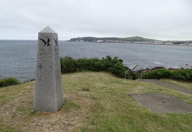
And here, finally, as the rain is about to start, we reach the end:
Miles walked: 21 exactly
Total for the week:
Miles: 110 (EXACTLY, according to my app. However, there was at least a mile that I forgot to record, and I also didn't record walks to museums, shops, pubs etc. and they probably added up to at least 6 or 7, given the extreme length of the Douglas Promenade.)
Time taken doing these 110 official miles: 37 hours
Steps taken: 248,392
Elevation gained: 3758 m
It was a very good holiday. The Isle of Man has some very good walking, and even with the reduced timetable, the buses usually worked pretty well. Despite all the walking, we still had time to visit most of the historic attractions we would have visited on the "normal" holiday, and had time to sit and watch seals etc. I'd go again!