Mt. Tom! and stealing geo-caching from Miss Amy

I guess there used to be a place called "Mountain Park" on Mt. Tom. Through a fire and a couple other unfortunate events, it, its Mountain Slides (which the sign is pointing to) and its dance hall are gone and long grown-over.
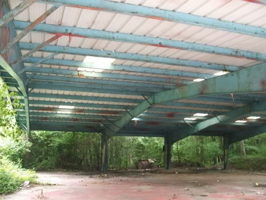
This bizarre structure, according to Amanda's mom, used to house picnic tables and there was food and drink to be had at one end. Now, however cool looking, it just smells like poop.
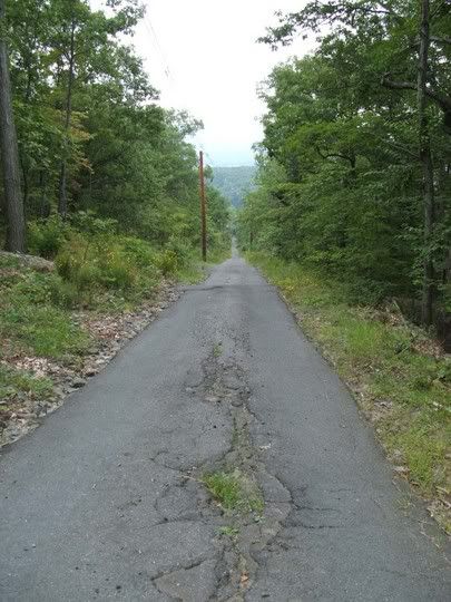
The trail, while paved, was very very steep. It was the asphalted-over track that the old trolley used to take up the mountain bringing guests to the Summit House at the top. The track is so steep, in fact, the trolley was actually built at a slant to compensate. I think photography's lack of depth perception doesn't really do the angle justice.
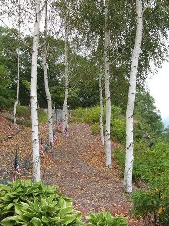
About halfway up there's a memorial to a WWII era military plane that crashed, just short of its destination, into the side of the mountain. These were the birch trees, interspersed with flags, leading up to the memorial. Next to the engraved stone, people have piled small bits of wreckage found in the area. We visited here on the way up and, unexpectedly, on the way down because on the return trip we saw that all the flags on the left-hand side of the walkway that you see in this photo had been ripped out of their holes and left strewn on the ground. Some people are just assholes.
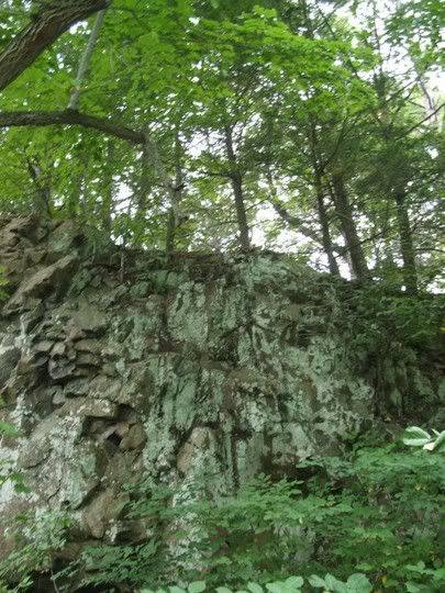

The nature along the way was just what I've been missing holed up in that godamn file room with not so much as a window.
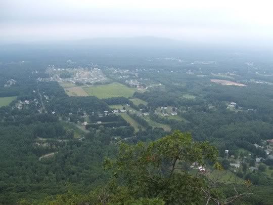
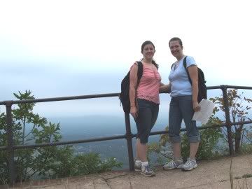
This was the view from the top, where the Summit House used to be. They built two, both burnt down - the first, I think, a short three years after it was built, the second lasted a couple decades before succumbing to fire. Then I guess they gave up. All that's left are some big concrete blocks and the walkway you see us standing on below.
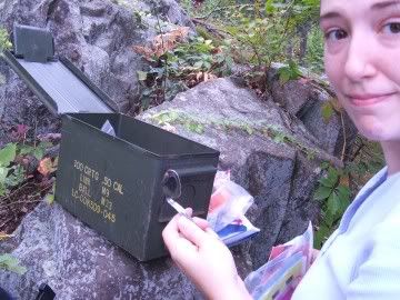
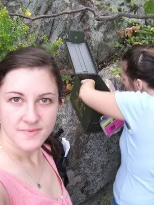
After a whole lot of looking and a little frustration thanks to some misleading clues, we found the cache.
It was a great little hike and a lot of fun. I hope I'll be doing it some more in the future!